
Walk a New Iberia Street
A New Iberia street directory works best as a chain of address records. Ownership is public on the Iberia Parish Assessor card, while residence needs more care. A mailing address may differ from the property address, and a voter result is not linked to the assessor record. Start with one exact house number, then repeat the same checks for each parcel on the block. Preserve the spelling and address role shown by every source.
- Enter the house number and street name in the Iberia Parish Assessor property search. Save the parcel number, physical address, owner, mailing address, ward, and legal description.
- Open Iberia GeoSync, identify the parcel, and inspect the parcels that touch it. Treat the map as a locator, not an official survey.
- Check the Louisiana voter portal by address when the search has a lawful civic purpose. Record only what the public result actually returns.
- Use the parcel and legal description in the Iberia Parish Clerk conveyance index. Follow each grantor, the person transferring property, and grantee, the person receiving it.
- For an earlier household, check New Iberia directories by street and year at Iberia Parish Library. A directory entry is dated evidence, not proof of current residence.
Search New Iberia Parcels
The assessor supplies the strongest first index for a modern street directory. Its public form has several ways around a spelling problem. Address mode separates the number from the street name. If that fails, a parcel number, owner name, subdivision, legal description, or Section/Township/Range search may find the same land. Results show the parcel number, name, physical address, and a Details link.
| Search mode | Fields to enter | Best use |
|---|---|---|
| Property address | Address number; street name | Start a by-address search |
| Parcel | Parcel number | Reopen an exact card |
| Name | Owner text | Find other recorded parcels |
| Land | Section, township, range; subdivision; legal description | Resolve rural-edge or renamed roads |
| Tax year | Year selector | Keep the assessment period with the result |
The Assessor search screen shows these modes directly.
The captured form makes clear why one failed address query is not the end of the search: the same parcel can be reached through several indexed fields.
New Iberia Address Roles
A property card separates its situs, or physical location, from the address used to mail tax material. Those fields cannot be collapsed into one claim about who lives there. The sampled Angie Street parcel lists 1206 Angie Street as its physical address and 1217 Angie Street as its mailing address. Its deed rows also include tax sales, a redemption, a tax deed, a cash sale, and an affidavit of correction. Each person must stay tied to a source role and date.
- Parcel
- A locally assigned identifier for a tract or tax unit.
- Situs address
- The physical location assigned to the property or improvement.
- Plat
- A recorded drawing that describes lots, boundaries, roads, or a subdivision.
- Criss-cross directory
- A directory arranged by street and house number instead of only by surname.
The sample North Lewis Street assessor card shows the parcel, physical address, mailing address, legal description, deed rows, and ownership history together.
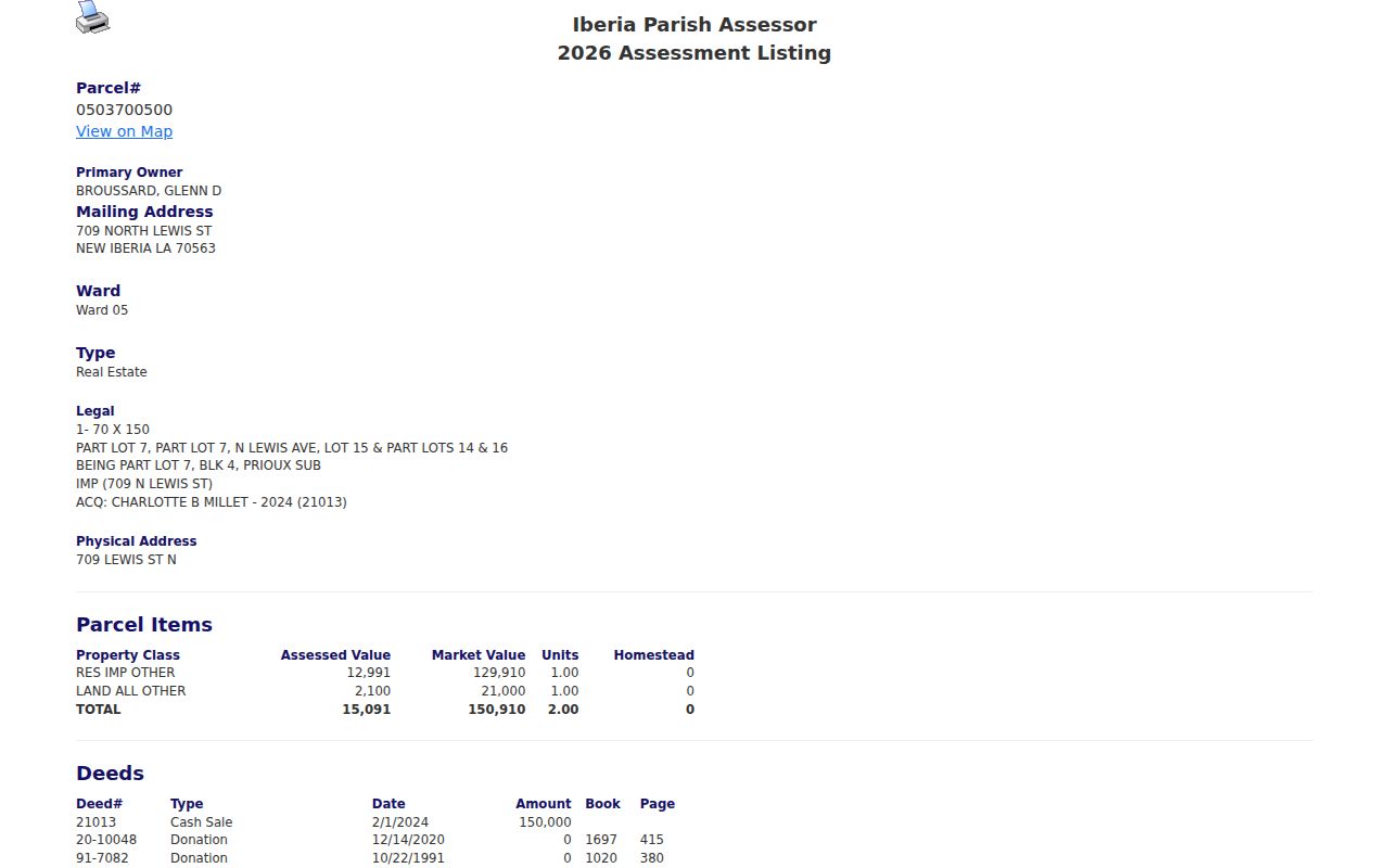
That card demonstrates the handoff: copy the parcel and instrument details before moving from assessment data to recorded deeds.
Map the New Iberia Block
GeoSync turns one parcel into a street-by-street map and gives the street directory a clear block boundary. Its public tools include map identify, parcel query, buffer query, search in area, measurement, layers, and basemaps. Click or query the subject parcel, note the road frontage, then identify each adjoining parcel. Run those parcel numbers in the assessor separately because the map itself does not establish a current owner or resident.
The assessor warns that GIS is not an official document. Boundaries, bearings, and dimensions need confirmation from a recorded plat, deed, or survey. That distinction is vital along a street where one building may span lots or a road project changed an edge.
The public GeoSync parcel viewer is the visual part of that workflow.
The map view helps define which cards belong in a block study without turning nearby mailing addresses into claims of occupancy.
New Iberia By-Address Records
No official citywide resident list was found. A useful New Iberia street directory therefore combines records that index different roles: owner, recorded party, permit applicant, voter, or historical directory entry. The keeper and access method matter as much as the name.
| Record Set | Keeper | What It Shows | Access |
|---|---|---|---|
| Property card | Iberia Parish Assessor | Owner, mailing and physical address, parcel, deed clues | Free public portal |
| GIS parcel map | Iberia Parish GIS | Parcel shape, frontage, nearby parcels | Free GeoSync viewer |
| Deeds and mortgages | Iberia Parish Clerk of Court | Recorded parties, dates, instruments, book and page | Index search; images and copies may cost |
| Voter portal | Louisiana Secretary of State | Limited current registration result | Free; protected fields omitted |
| Permits and planning | City or parish office | Owner, applicant, contractor, project, hearing role | Public pages or focused request |
| Directories and newspapers | Library and archives | Dated address entry, notice, obituary, business | Library, archive, or licensed database |
The parcel number ties the assessor card to deed, tax, GIS, and request work. Street spelling and house number connect that modern chain to directories, permits, and newspaper notices. Keep both keys in the research notes.
Deeds Along New Iberia Streets
The Iberia Parish Clerk of Court records conveyances, mortgages, and plats, which add transfer dates to the street directory. eClerksLA lists Iberia conveyance and plat indexes from 1868 to the present, with mortgages from 1959. Search inputs include last name or entity, first name, partial name, date range, instrument number, description, and grantor or grantee role. Result details may show document type, recorded date, book and page, amount, references, and parties.
A parcel card is not a title opinion. Follow its deed rows into the recorded index, then read each instrument needed to understand a transfer. A donation, partition, sheriff's sale, tax sale, redemption, or correction does not carry the same meaning as a routine cash sale. Images, copies, certification, and some subscription access can cost money, so confirm charges before ordering.
New Iberia Permit Addresses
New Iberia Inspection and Permits lists building, remodeling, addition, demolition, moving-house, mobile-home, fence, sign, electrical, plumbing, mechanical, and occupancy files. Compliance and right-of-way work may add condemnation, abandoned-house, grass, junk, vehicle, deed, or public-project records. No open municipal permit index was located.
The City Inspection and Permits page identifies the office and its record categories.
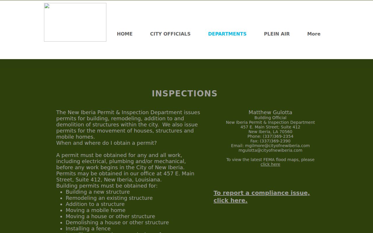
The screen supports a focused request by address, parcel, project type, department, and date range rather than a broad request for all people tied to a street.
Older New Iberia Street Names
No public old-to-new street-name table or E-911 address-point download was found for New Iberia. When an old directory address fails, preserve its exact spelling and search City Council, Planning and Zoning, Historic District, and right-of-way files for an ordinance or project. Parish E-911 manages address assignments, while USPS controls delivery labels. Those are separate from parcel and city-limit records.
Historic evidence can bridge the gap. New Iberia directories are identified for 1906, 1936–37, 1940, and 1954, with microfilm holdings for 1957–58 and 1960. The Library of Congress Sanborn series spans dates from 1885 through 1952. Compare street labels, cross streets, house numbers, and building footprints before matching an old address to a current parcel. For the full shelf and citation method, use the New Iberia city directory collection.
New Iberia Street Geography
New Iberia records use 70560, 70562, and 70563, but a ZIP code is delivery geography. It is not a parcel line, city limit, ward, or neighborhood. One street may change ZIP by block or route. The assessor has no visible ZIP search field, and no official ZIP-to-parcel crosswalk was located. Verify a mailing ZIP with the exact USPS address while keeping the source's original value.
Ward, council district, parish boundary, historic district, and USPS route should remain separate fields. This is especially useful at the city edge, where a New Iberia mailing label does not by itself prove that City offices hold the permit file.
Request New Iberia Address Files
When a permit, code case, plat, right-of-way file, or old address record is not online, route the request to the custodian that created it. City Inspection and Compliance cover incorporated New Iberia. Parish Planning and Permits handle areas outside the city, and parish E-911 handles address management. Ask whether the location was inside city limits during the date range.
The Iberia Parish public-record request page accepts written, emailed, or in-person requests and advises that charges may apply.
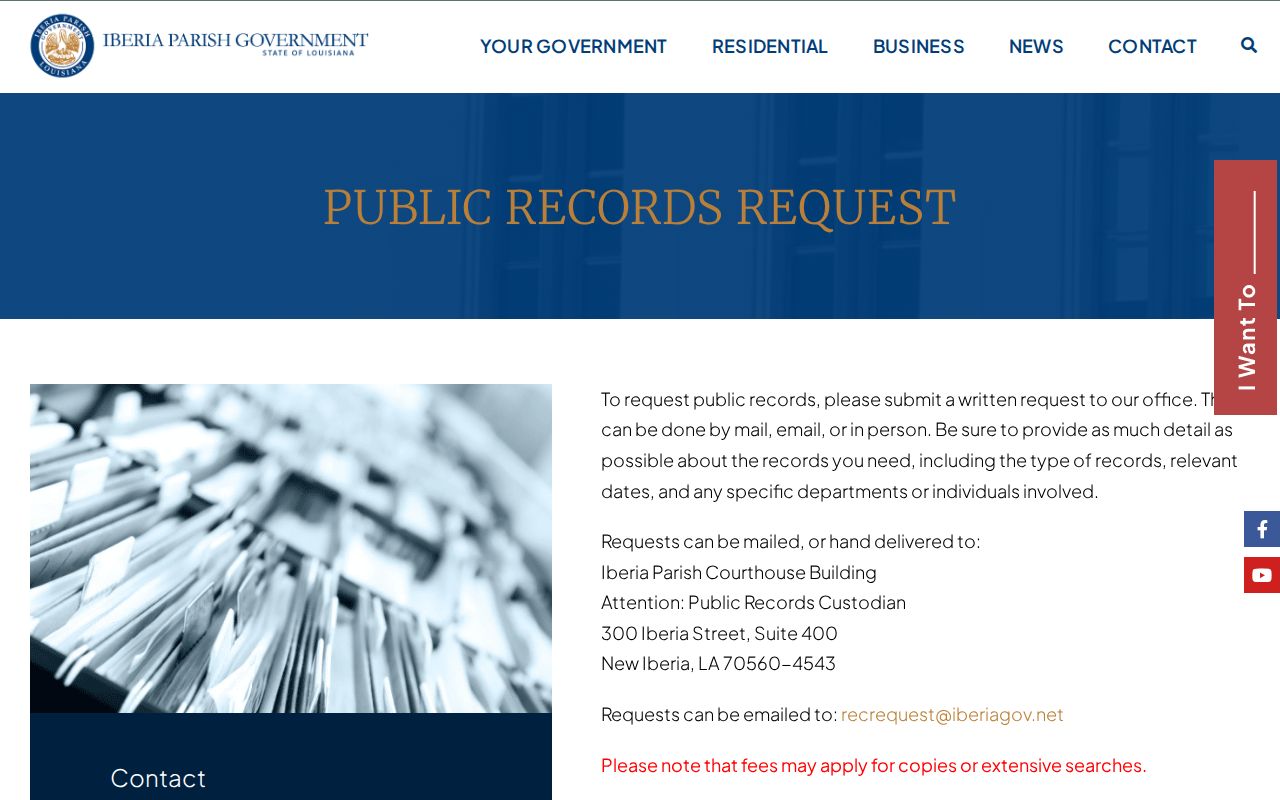
Name the exact address, parcel, former spelling, record type, department, and date window. Request existing records, a fee estimate, the preferred format, and any cited exemption for withheld material.
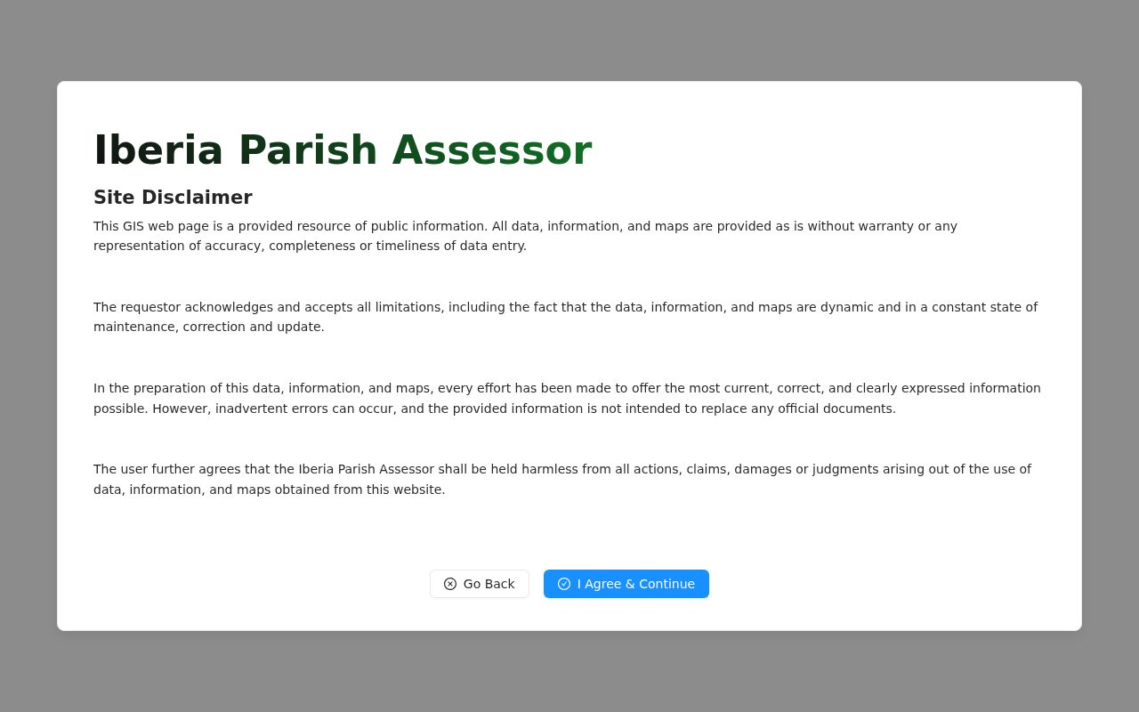
The assessor also routes map users through a clear disclaimer on its GIS map page.
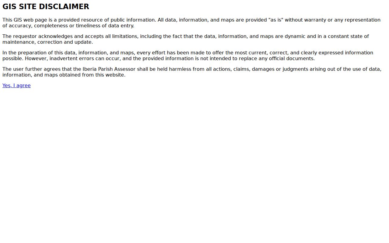
That notice is a useful stop sign: verify parcel boundaries and legal facts with the recorded source before relying on a map image.
Limits of New Iberia Street Records
A street directory cannot identify every household member, unregistered occupant, utility customer, protected voter, delivery recipient, or visitor. An owner may live elsewhere. A permit applicant may be a contractor or representative. A directory entry may name a telephone subscriber, organization, business, or past occupant. Motor-vehicle addresses and local utility customer lists were not located as public sources.
Louisiana's voter portal also warns that voter and address records are not linked. Treat every result as a separate record, not proof that the person owns the parcel or lives with someone named in another system. Address Confidentiality Program participants have added protection for substitute addresses and voter information.
Lawful use. Use New Iberia address records only for lawful personal, family-history, property, or civic research. Never use them to stalk, harass, intimidate, or harm a person.